Transform your projects with expert aerial support from our enterprise drone fleet. Precision intelligence for real estate, construction, land management, and emergency response.
Professional 4K video and high-resolution stills for real estate marketing, infrastructure documentation, and brand storytelling. Property boundary overlays show exact parcel lines on aerial imagery — giving buyers, agents, and landowners a clear picture of what they own.
Professional editing, color correction, and HDR processing in-house. Fast turnaround. Clear deliverables. No surprises.
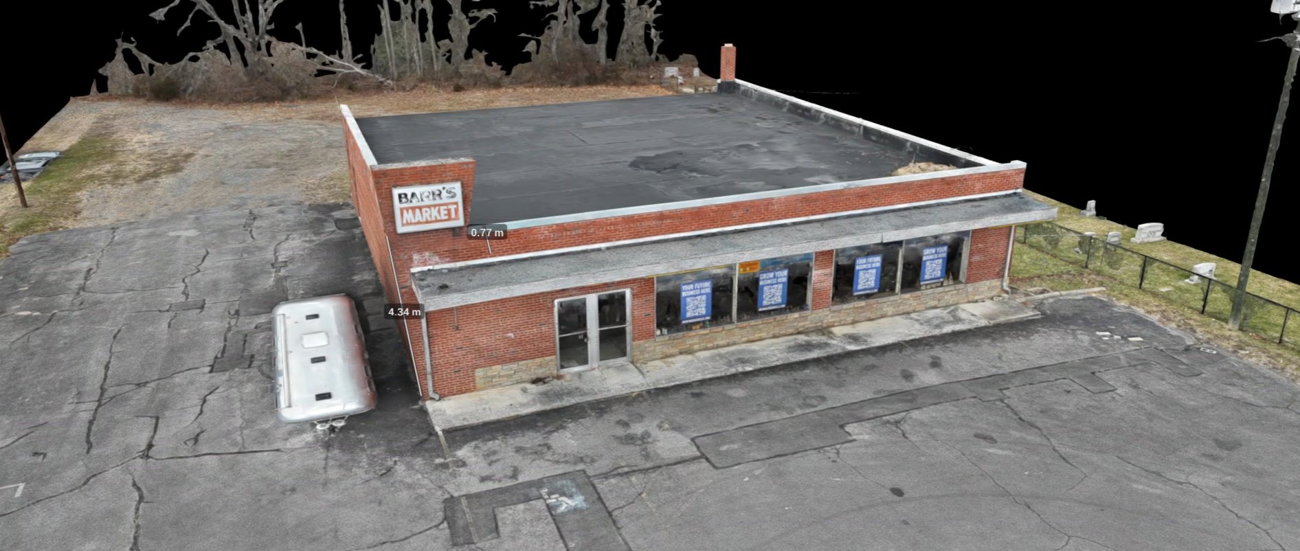
Accurate 2D maps and 3D models using photogrammetry and laser scanning. Pre-construction surveys, progress monitoring, stockpile volume calculations, cut-and-fill analysis, and boundary verification.
GPS-referenced data that integrates with design software. Not guesswork from outdated satellite imagery.
Visual access to roofs, facades, bridges, towers, and hard-to-reach structures — without scaffolding, lifts, or putting personnel at risk. High-resolution imagery and thermal data for maintenance planning, insurance claims, and compliance reporting.
Faster than traditional methods. Safer for your crew. More thorough than ground-level walkthroughs.
Thermal-equipped drones cover large areas quickly to locate wounded deer, lost pets, horses, and livestock in dense vegetation or low light. Systematic grid searches with GPS coordinates for recovery.
Aerial herd surveys for population counts, distribution maps, and land management data. Data-driven insights for managing your property with confidence.

Search & Rescue · Wildland Fire · Disaster Assessment
Rapid large-area coverage with thermal and visual sensors. Real-time aerial views to locate missing persons in disaster areas, dense terrain, or low-visibility conditions including smoke, fog, and darkness.
Emergency supply delivery to stranded individuals in remote or hazardous areas. Real-time damage assessment during natural disasters.
Real-time fire perimeter mapping and hotspot detection. Thermal imaging identifies hot spots where fire may reignite, and locates people and animals in dangerous situations.
Spot fire detection where smoke reduces visibility — in steep slopes, canyons, and dense forests that are challenging for ground crews to access.
* Coming Soon
Enterprise mapping platforms, thermal inspection drones, and specialized FPV systems. All maintained to manufacturer standards, operated by FAA Part 107-certified pilots.
Enterprise mapping platform with 4/3-inch 20MP wide-angle camera, multicamera system, and mechanical shutter. Built for high-precision orthophoto, oblique imaging, and long-range survey missions.
Rugged dual-sensor platform combining a 48MP zoom camera with a radiometric thermal imager. Purpose-built for search and rescue, fire support, infrastructure inspections, and all-weather emergency response.
Thermal and multi-sensor platform with 640×512 infrared camera, 48MP telephoto, and 1800m laser rangefinder. IP55-rated with 47-minute flight time and full-color night vision for inspections and SAR.
Dual-fisheye 360° capture drone with 8K/60fps HDR and omnidirectional obstacle sensing. Shoots immersive spherical footage and standard 4K video — ideal for real estate walkthroughs and creative aerial storytelling.
Compact sub-250g drone with a 1-inch sensor, 4K/60fps video, and extended flight time. Fast to deploy for real estate photography, quick site documentation, and light mapping work without airspace restrictions.
Flexible pricing based on project scope. Starting at $100/hour including setup and breakdown. Most projects have a 2-hour minimum.
Exterior stills, edited and delivered ready to use.
Flyover video added to any photography package.
Orthomosaic map with property boundary overlay. +$2.00/acre.
All other services. Custom quotes for larger or specialized projects.
Advanced photo and video editing, color grading, and visual storytelling. Ground-based photography for clients who need comprehensive coverage beyond aerial work.
Our sister company transforms aerial survey data into architectural models, site plans, and design visualizations for land development and new construction projects.
Sky Scout pilots volunteer with CSVFR to provide drone support during emergency operations. Working to establish a UAS Task Force for search and rescue, wildland and structural fire support, and disaster response under the Incident Command System.
Trained and certified pilots provide aerial reconnaissance, hotspot detection, and real-time fire behavior monitoring to supplement WVDOF resources during active wildland fire and prescribed burn operations.
Ready to get your project off the ground? Send us a message and we'll get back to you with a customized quote.